Technology

A two-week window, measured in seconds.

Soil nitrate predicts a crop’s nitrogen needs — but only briefly, and only at a resolution nobody can afford to sample. We are building the sensor that changes both.

The technology behind N-Sense

Half the nitrogen never reaches the crop.

Close-up of young green plants growing in neat rows on a farm

Less than half of the nitrogen fertilizer applied to farm fields is actually used by the growing crop. The rest is either leached from the soil as nitrate, contaminating surface and ground water, or volatilized from the soil, contributing to air pollution and global warming.

That inefficiency is a large economic loss for farmers and a large environmental problem. While precision agriculture has advanced significantly over the last several decades, on-the-go precision nitrogen management remains a challenge. Research has shown a narrow window in late spring (the V6 growth stage of corn) when soil nitrate concentrations predict crop nitrogen needs. Precision nitrogen management is therefore possible — if the spatial distribution of soil nitrate can be measured rapidly during that window of about two weeks.

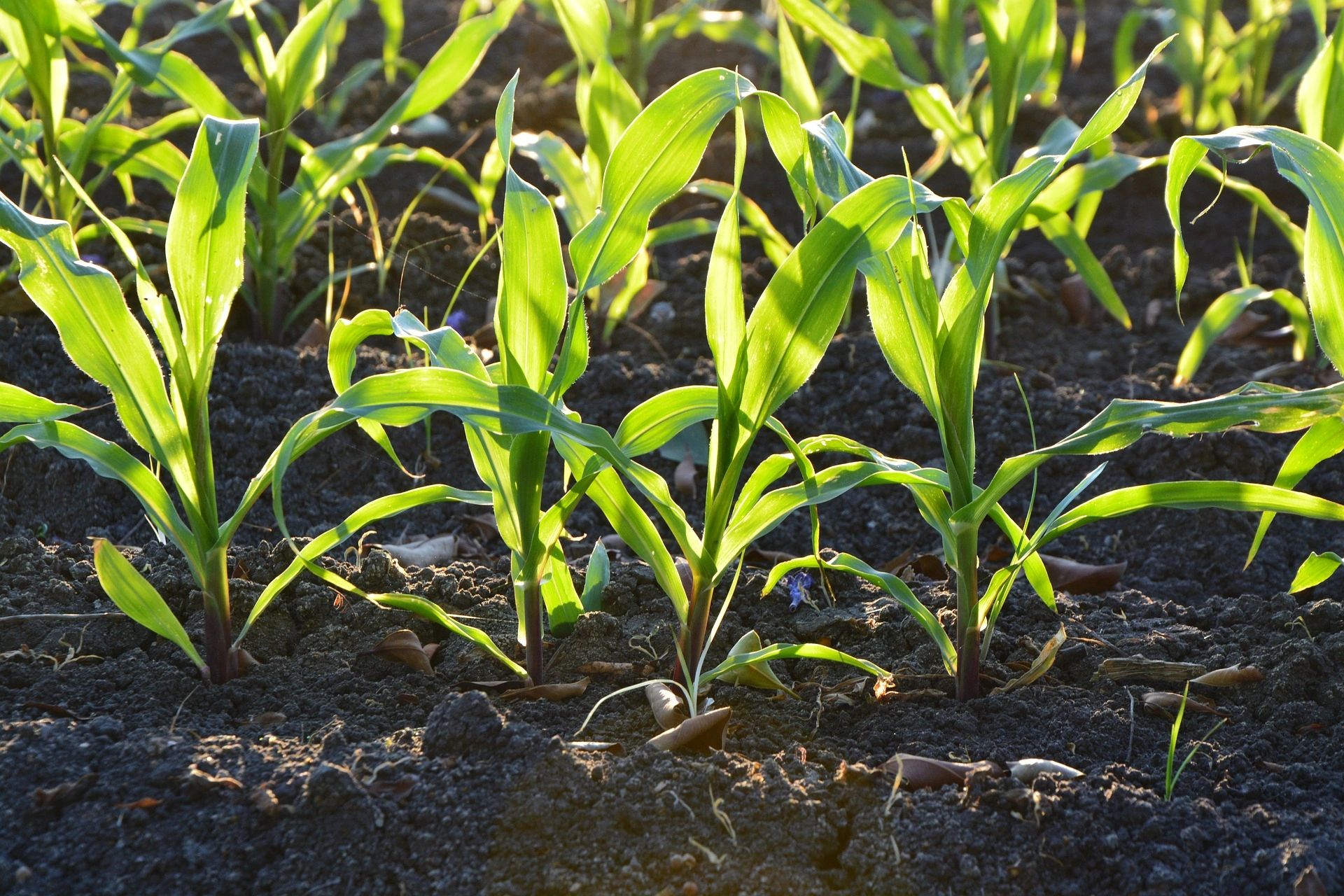
Young corn plants growing in fertile soil under sunlight

Why the existing test is not used

Although the pre-sidedress soil nitrate test has been shown to improve nitrogen use efficiency and reduce nitrate leaching losses, it is not widely used by farmers: labor for soil sampling and analysis is expensive, its low spatial resolution misses substantial in-field variability, and the delay between sampling and receiving a prescription increases risk. For most farmers, soil testing for nitrates is too impractical, too expensive and too risky for large-scale use on production fields.

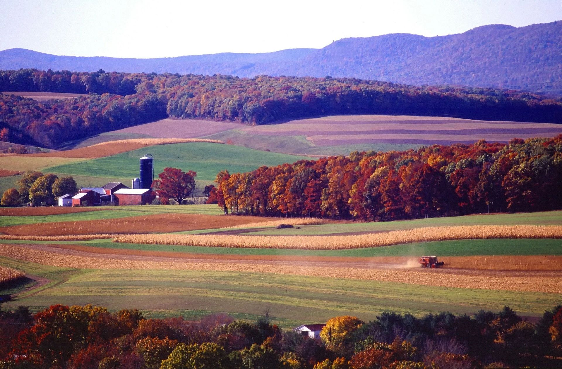
Autumn farmland with rolling hills and a distant farmstead

What we are building

Our team is developing a soil sensor system based on Fourier Transform Infrared sensor technology that attaches to a nitrogen fertilizer applicator and modulates sidedress N rates in real time, on the go, as the applicator moves through the field.

The sensor system has the potential to transform the pre-sidedress soil sampling protocol into a simple and practical tool for precision nitrogen management: it removes the need for soil sampling, removes the delay between sampling and application, and provides far greater spatial resolution than the current protocol allows.

See the sensors

Landscape analysis

Lidar: the layer everything else is built on.

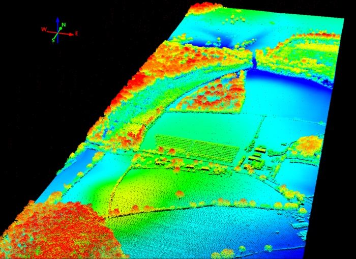
Lidar-derived elevation model of farmland

What is lidar?

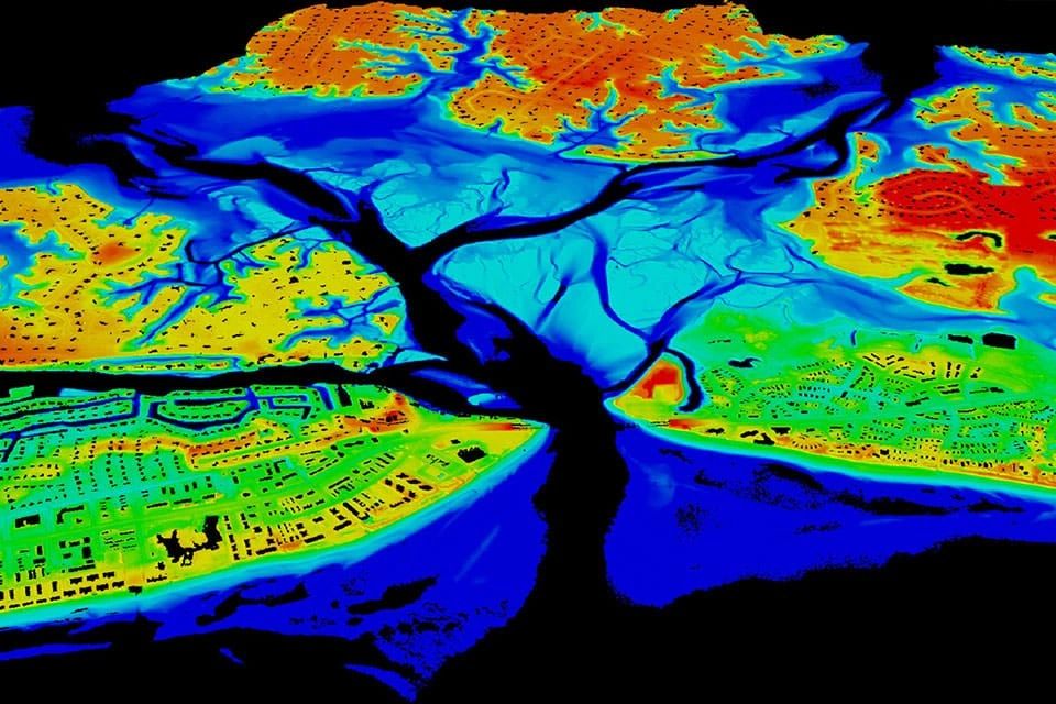
Light Detection and Ranging — lidar — is used to map and create elevation models for any landscape. The data is gathered from an aerial source using a laser, receiver scanner and GPS. The reflection of light off the surface is measured and stored as elevation models: lidar maps.

Lidar-derived slope and curvature map used for management zones

Why lidar matters

Lidar is the stepping stone to many other landscape attributes useful for interpreting and predicting farmland. Geology features such as slope, aspect and curvature are all built off lidar elevation data. Used alongside a farm’s history and soil types, they lead to fertilizer management zones, seasonal corn yield predictions, farm CSR2 ratings and more.